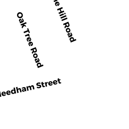
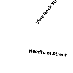
81 NEEDHAM ST
Owner Information
PENDER THOMAS F ETUX
34 WHITTIER ROAD
FALMOUTH, MA 02536


Property Details
81 NEEDHAM ST is classified as a Two-Family Residential (Family conver.).
The primary structure on this property was built in 1925. There are 4,656ft2 of built area within this property. There is 2,402ft2 of residential/living space within this property. This property is listed as having 10 rooms.
81 NEEDHAM ST is valued at $568,900. The land is valued at $223,800 and the structures are valued at $345,100.
This property is in Zone G. Confirm with local Zoning Board authorities to ensure there are no overlays or other easements on this property.
The most recent deed for 81 NEEDHAM ST is recorded at the local registrar in Book 837, Page 176. 81 NEEDHAM ST was last sold on Wednesday, April 28, 2004 for $510,000.
Assessment data from fiscal year 2020.
Flood Data
According to the FEMA National Flood Hazard Layer, this property does not appear to be in a flood zone. It may also be in an area not yet reviewed. Nonetheless, confirm this information prior to taking any action.
To view the flood hazards around this property, create a FEMA "Firmette" Map of the area around 81 NEEDHAM ST.
Broadband Internet Providers
| Provider | Type | Bandwidth (mbps) | |
|---|---|---|---|
| HughesNet | Satellite | 25 | 3 |
| Verizon New England Inc. | DSL | 1 | 0 |
| Verizon New England Inc. | Fiber | 940 | 880 |
| Comcast | Cable | 1000 | 35 |
| RCN | Cable | 500 | 20 |
| RCN | Cable | 1000 | 20 |
| GCI Communication Corp. | Satellite | 0 | 0 |
| VSAT Systems, LLC. | Satellite | 2 | 1 |
| Viasat Inc | Satellite | 100 | 3 |
Broadband service provider data from December 2020.
Adjacent Properties
- 77 NEEDHAM ST
Single Family Residential owned by MCCAULEY LAURIE A - 12 JUNIPER TER
Single Family Residential owned by BINGELL RICHARD P - 85 NEEDHAM ST 85
Condo NL MDL-05 owned by 85-87 NEEDHAM ST RLTY TR - 85-87 NEEDHAM ST
Other, Open Space owned by 85-87 NEEDHAM STREET CONDO - 87 NEEDHAM ST 87
Condo NL MDL-05 owned by 85-87 NEEDHAM ST RLTY TR